NASA satellite data helps oyster farmers choose where to grow
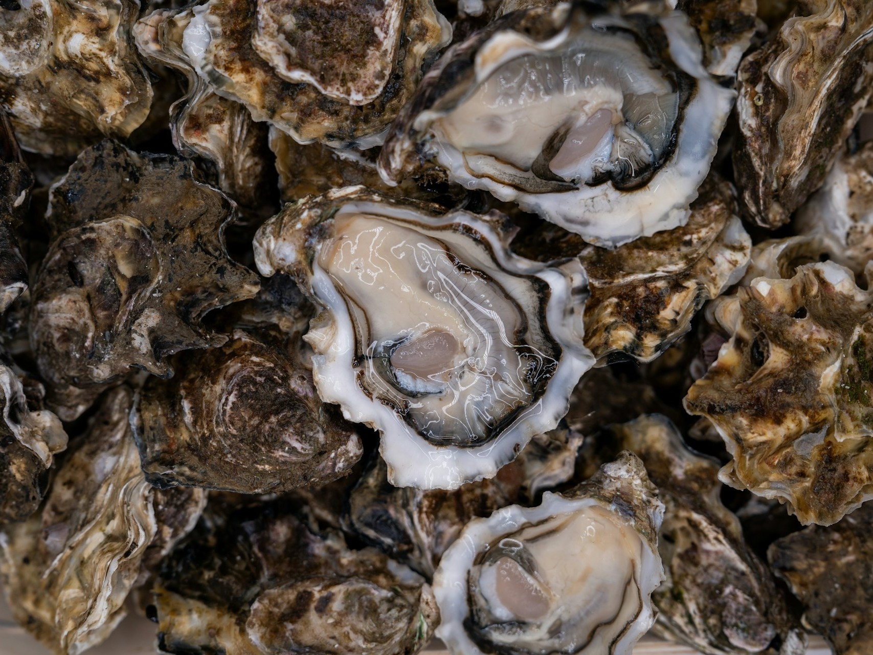
University of Maine researchers developed a site-selection tool. This tool uses satellite data to determine where oyster growth would be best. The director of The World is Your Oyster farm in Wiscasset, Maine, Luke Saindon, examined the satellite maps to determine where temperatures and food levels were most suitable for oyster growth. Going by the maps’ directions, he set up the farm near his home. Four years later, his oyster farm is still thriving.
The researchers then developed a growth-prediction model with that same approach. They used data from Landsat and European Sentinel-2. This model is based on how oysters allocate their energy to growth, survival, and reproduction.
For a place like Maine, this satellite data is even more crucial. Maine’s coastline is made up of drowned valleys and rocky bedrock carved by ancient glaciers. The coastline structure makes conditions change dramatically over short distances. This changing condition makes site selection difficult for an oyster farmer.
The researchers’ model could solve this problem. It can show farmers where oysters grow faster and how long it will take to harvest. This reduces the financial risks involved in oyster farming.
The research team validated the model against seven years of field data. The model has shown accuracy. The team will now develop an online tool to put the model into practice.
Source(s)
Image source: Mitili Mitili
