




GTA 6: New map shows Leonida in unprecedented detail – and smaller than expected
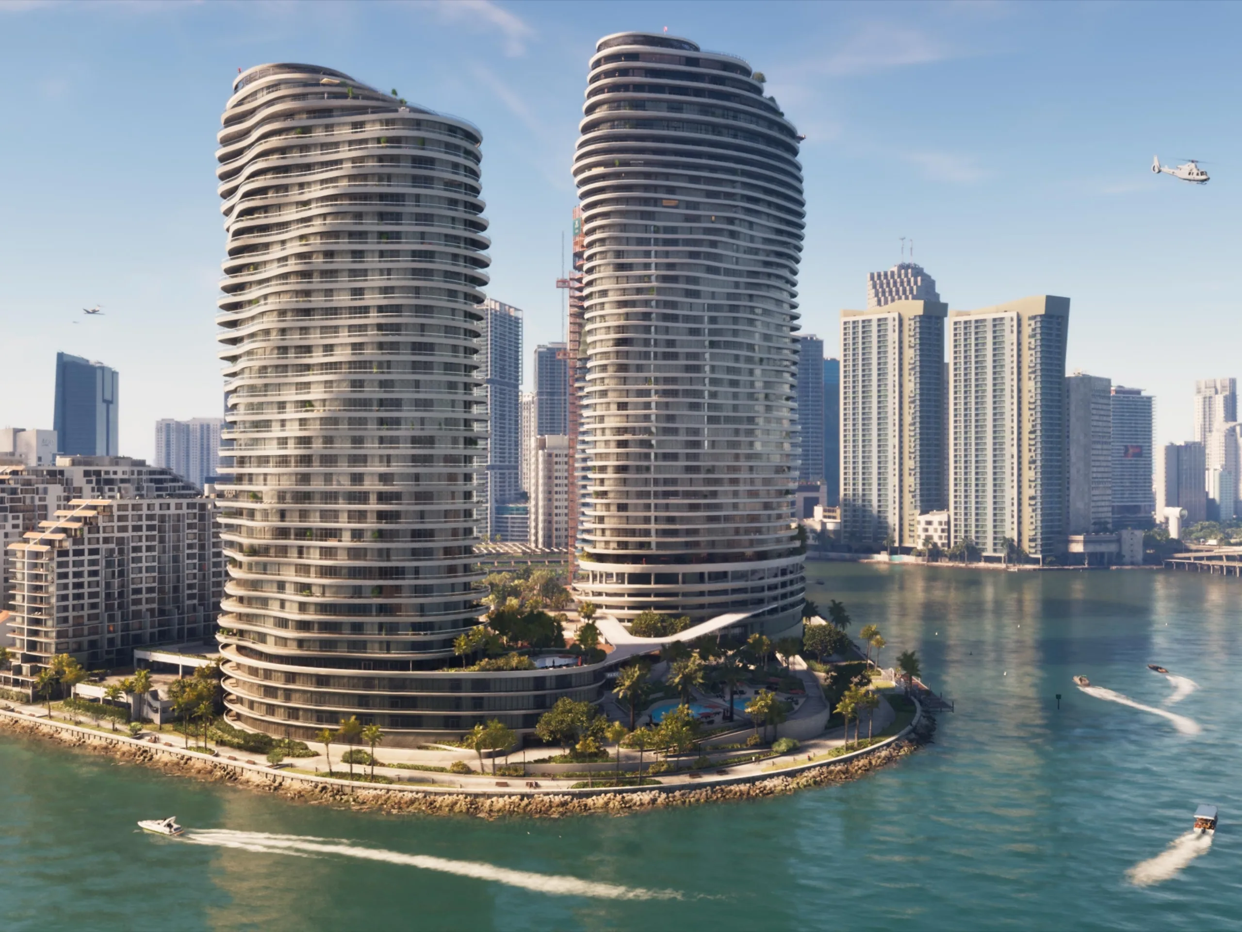
GTA 6 fans are continuing to piece together Leonida, and Version 16 of the community map brings significantly more roads, buildings and other details into the picture. According to the team behind the project, the latest revision draws on several sources, including an allegedly leaked map from August 18 and footage from Rockstar’s Extended Look. The image below shows how Version 16 compares with Version 15.
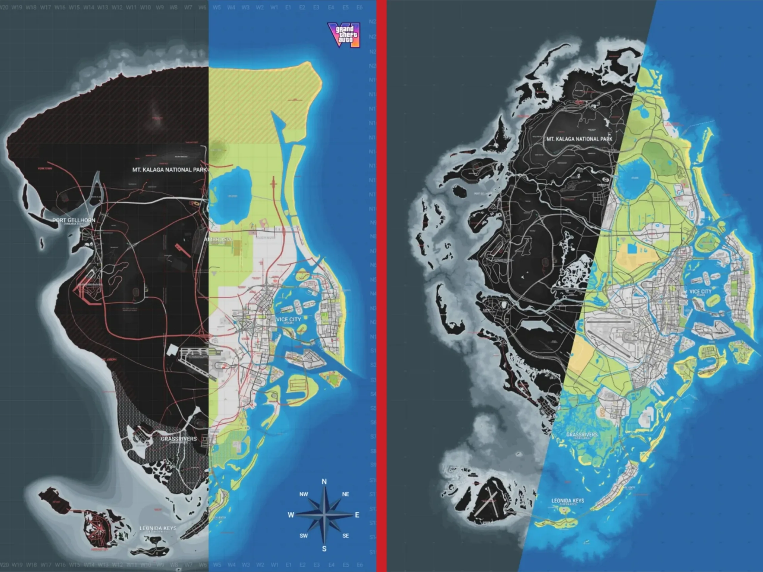
On Reddit, u/poorna_sus14 breaks down the changes. Coastlines, beaches, urban areas and county boundaries have all been reworked, while new roads and buildings have been added across Vice City, Key Lento, Hamlet, Capri and Ambrosia. The elevation map has also been revised, with additional camera positions as well as new parking and industrial areas now marked. Vice City and its surroundings have received further refinements, including more detailed buildings, additional alleys, helipads and new road connections. Interactive versions of the map are available through GTADB and State of Leonida, where users can zoom in and explore individual locations and streets.
Smaller than expected, but still massive
One of the more interesting changes is the revised scale. The project now uses a 1 × 1 km grid, putting the map’s overall dimensions at roughly 21 × 20 km. That does not translate to a 420 km² game world, however, since large parts of that area are water or fall outside the reconstructed landmass. Version 16 puts the estimated land area at around 85.6 km², down from nearly 110 km² in Version 15. The mapping team arrived at the lower figure after revising the scale and shape of Leonida based on newer information. So while the reconstructed GTA 6 map (available for pre-order on Amazon) is smaller than previously thought, it still appears to be huge. For comparison, community mapping projects put GTA 5’s land area at just under 50 km².
Source(s)
Image source: Rockstar Games
 Add as a preferred source on Google


