




Premium Amazfit smartwatch gets extensive navigation upgrade
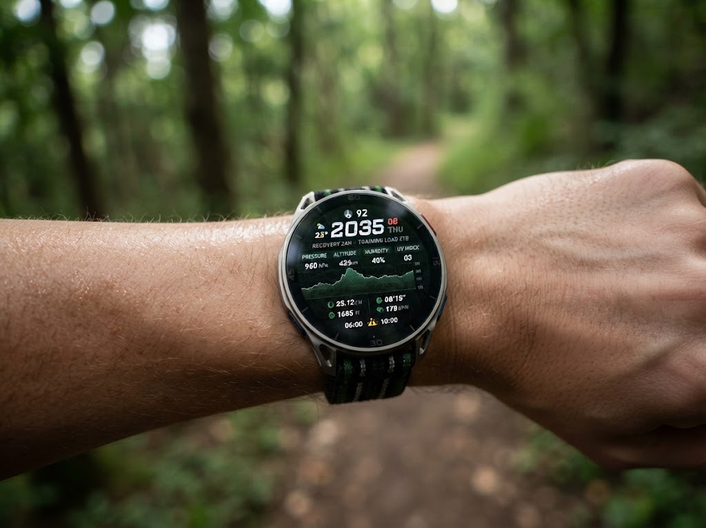
The Amazfit Cheetah 2 Ultra is gaining a useful navigation upgrade via firmware version 6.4.16, adding support for seven coordinate systems that are accessible via Settings > Preferences > Coordinates. These are:
| Coordinate system | Main advantage | Particularly useful for |
|---|---|---|
| Decimal degrees (DD) | Simplest format; easy to enter, copy and use with digital maps | Google Maps, smartphones, general GPS navigation |
| Degrees & decimal minutes (DDM) | Good balance between simplicity and precision; widely used in navigation | Hiking, marine navigation, GPS devices |
| Degrees/minutes/seconds (DMS) | Traditional geographic format that works naturally with paper maps and older navigation references | Topographic maps, surveying, traditional navigation |
| MGRS | Compact grid reference that can communicate a precise location efficiently | Military/navigation, search & rescue, hiking, topographic maps |
| UTM | Uses metres for position and distance, making measurements intuitive | Hiking, surveying, GIS, outdoor navigation |
| British National Grid | Designed specifically around Great Britain's mapping system | UK hiking, Ordnance Survey maps, surveying |
| Japan Grid | Designed for Japan's national mapping infrastructure and local surveying | Japanese maps, surveying, GIS, navigation |
MGRS, UTM, British Grid and Japan Grid are particularly useful for hikers and trail runners who navigate with topographic paper maps rather than relying solely on GPS coordinates.
Despite the expanded format list, the update leaves a notable gap: none of the new coordinate systems can be pinned to a workout data screen, meaning wearers must still switch to the map view to check their position rather than viewing it alongside metrics like time or elevation. Waypoint handling remains similarly unpolished: new icons have been added, but saved waypoints still cannot be renamed or sorted by distance or alphabetically, undercutting the practical value of the broader navigation push.
Firmware 6.4.16 is currently rolling out to Amazfit Cheetah 2 Ultra owners, building on earlier updates that have added myriad features and improvements, such as wrong-way detection, map panning and zooming, and Grade Adjusted Pace (GAP) for trail running. For users who regularly navigate with topographic maps, the update fills a genuine gap; others may barely notice it.
Source(s)
 Add as a preferred source on Google


No comments for this article