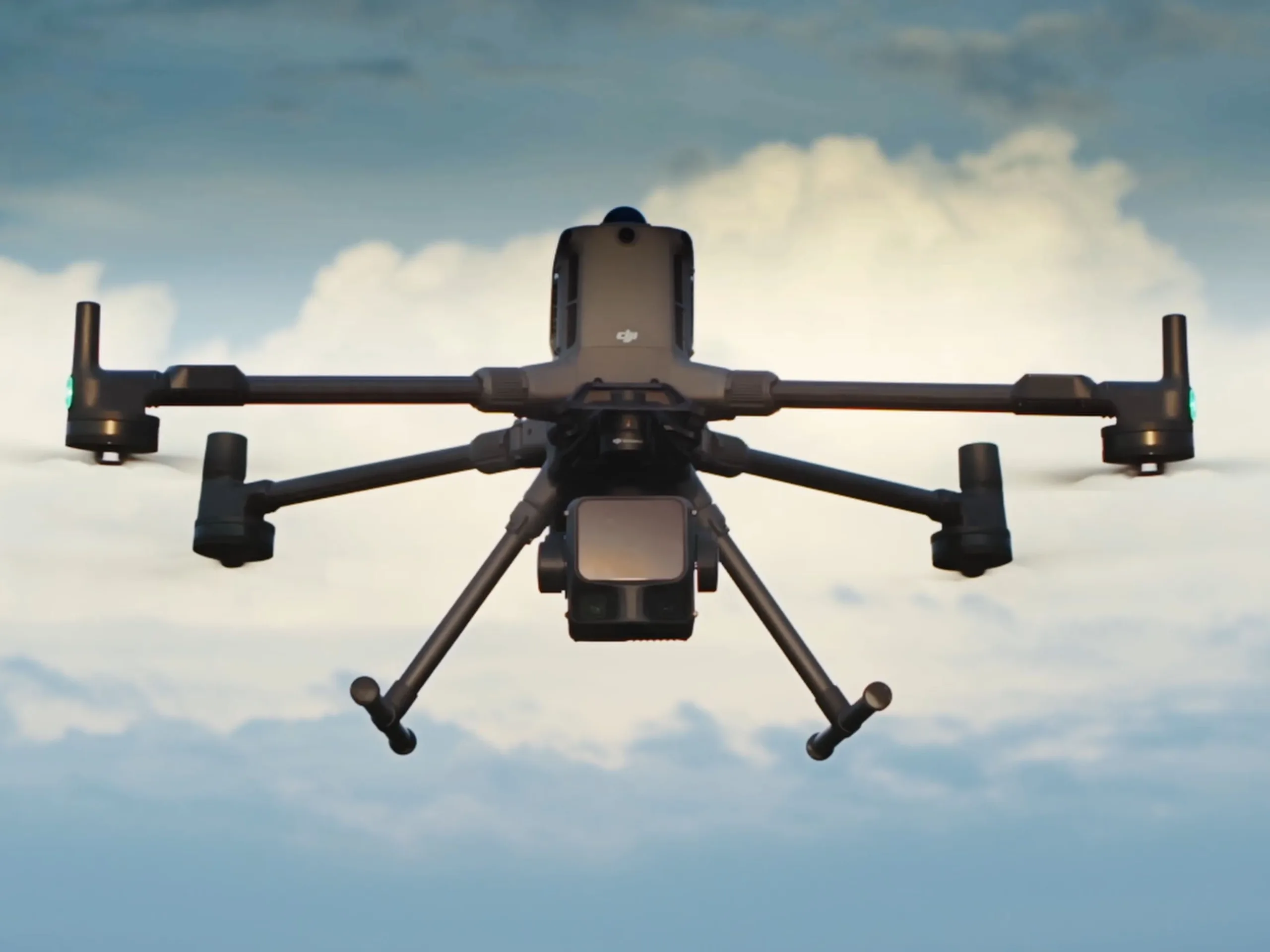
DJI launches Zenmuse L3 with LiDAR and RGB sensors
Most tech enthusiasts likely know DJI’s consumer drones, which allow you to capture exciting footage of yourself or even famous landmarks from unusual angles. However, drones also have a place in commercial and professional contexts and can often be a much cheaper alternative to a helicopter.
With the Zenmuse L3, DJI has now introduced another sensor module for this particular market segment. According to the manufacturer, this module can precisely capture geodata, for example when planning the exact route of a new road through a sparsely populated area.
DJI Zenmuse L3 sports LiDAR
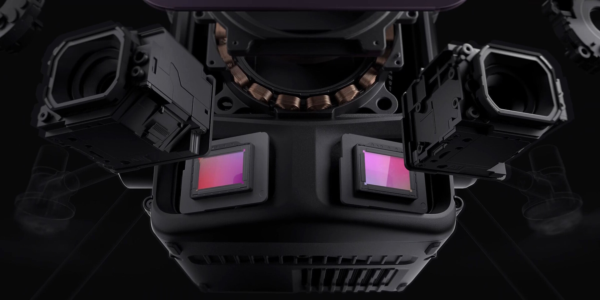
The Zenmuse L3 is equipped with a LiDAR system that emits electromagnetic radiation at a wavelength of 1,535 nm. The return time can be used to determine the distance between the optics and the ground, or even trees in some cases. At a range of 120 to 300 meters, a temperature of 25°C and well-reflecting objects, DJI specifies an accuracy of ±10 mm and a repeat accuracy of less than 5 mm. The result is a point cloud from which a terrain model can be created.
Optical imaging also supported
The DJI Zenmuse L3 also includes two RGB cameras with a 28mm full-frame equivalent focal length and a 4/3-inch CMOS sensor with a resolution of 100MP, which allows the creation of an optical model of the environment. Needless to say, a GNSS module is also onboard. At an altitude of 300 meters, a single flight with the DJI Matrice 400 can cover an area of 10 km², and up to 100 km² daily. For instance, Vienna’s 415 km² could be mapped in less than a week. This new DJI product is priced around €8,000 excluding VAT.
Source(s)

