

New US-India satellite can predict landslides with inch-perfect mapping of land and ice surfaces
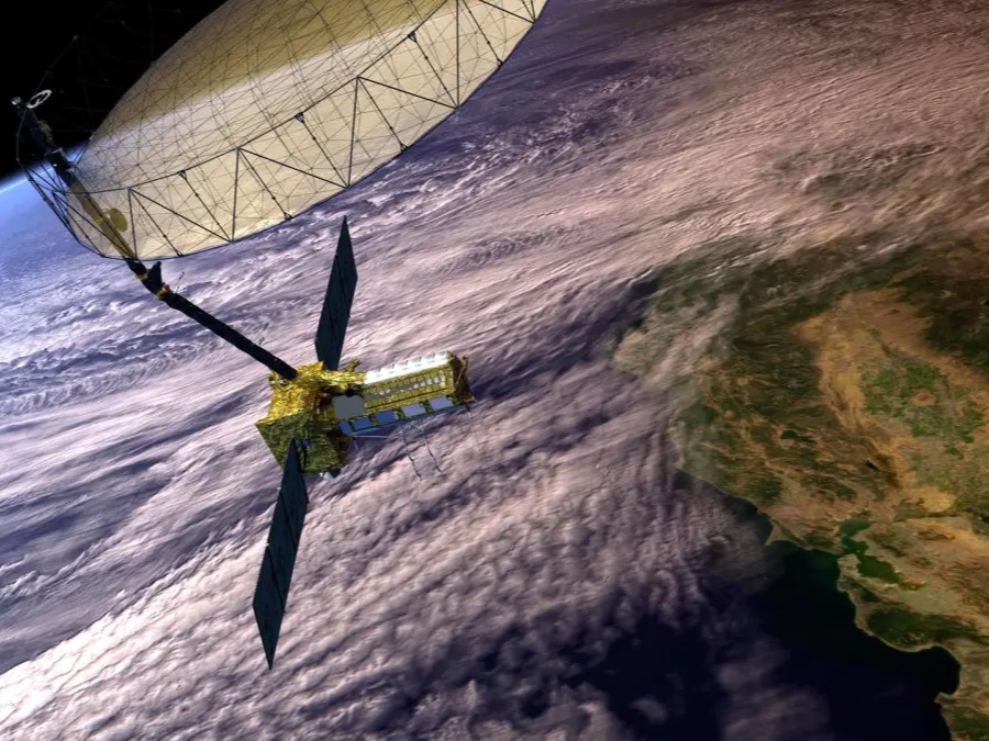
A new Earth-observing satellite — the product of a major collaboration between NASA and the Indian Space Research Organization (ISRO) — will soon provide a comprehensive 3D view of our planet's land and ice. The NISAR satellite, slated for launch on July 30 or later, is designed to solve critical challenges in disaster management, agriculture, and climate science by mapping changes to Earth’s surface down to fractions of an inch.
One of NISAR's primary missions is to provide insights that could save lives by improving natural hazard monitoring. The satellite’s advanced radar system will be able to detect subtle land movements that could signal an impending volcanic eruption or landslide. This data will also help managers assess the integrity of critical infrastructure like dams and levees by detecting any hazardous land motion nearby.
NISAR will also offer a revolutionary tool for understanding the effects of climate change. It is set to provide unprecedented coverage of Antarctica, allowing scientists to track how quickly glaciers and ice sheets are melting. By scanning the Earth twice every 12 days, the satellite will build a detailed record of changes to the world's forests, wetlands, and permafrost, providing vital information for monitoring global ecosystems.
The mission will also have a direct impact on disaster response and food security. Its ability to see through clouds and rain, day or night, will enable teams to better respond to hurricanes and floods. The satellite's dual-radar system is also designed to monitor crop growth and soil moisture, helping to improve agricultural management and food supply forecasts.
Source(s)
