NISAR satellite launches: Set to capture more details of Earth than any satellite before it
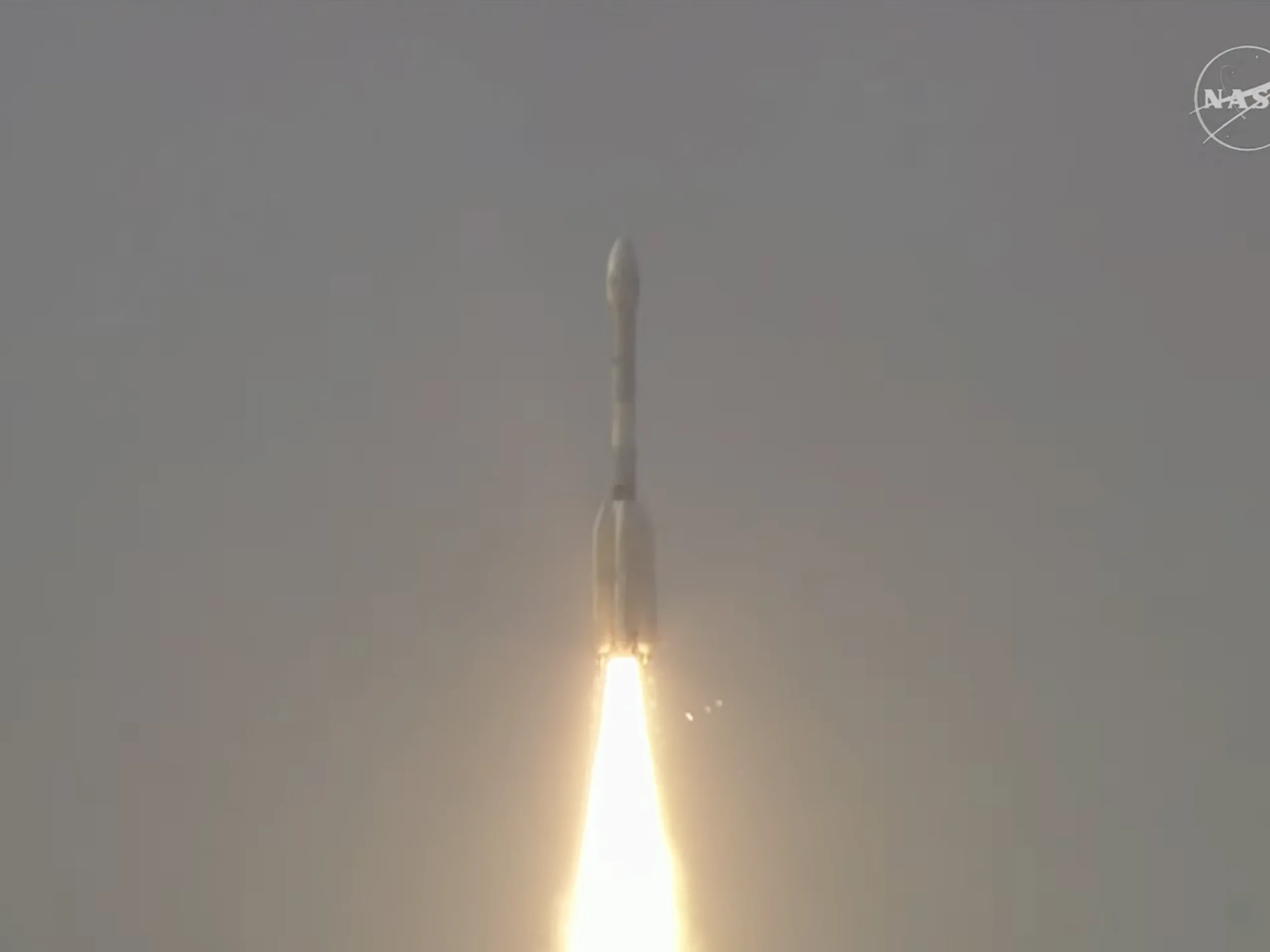
NASA-ISRO Synthetic Aperture Radar (NISAR) was launched on July 30 from Satish Dhawan Space Centre in Sriharikota, Andhra Pradesh, India. The satellite carries a sophisticated radar system that will produce dynamic, three-dimensional views of Earth’s surface in striking detail.
The satellite’s main body contains engineering systems and a dual payload — the first of its kind. It pairs a 10-inch (25-centimeter) wavelength L-band system with a 4-inch (10-centimeter) wavelength S-band system, each tuned to detect different surface features. Each system’s signal also specializes in measuring distinct characteristics — from moisture content and surface roughness to motion on Earth’s surface.
Data obtained from NISAR will help scientists better understand processes involved in natural hazards and catastrophic events. NISAR will also aid in monitoring infrastructure, such as dams, bridges, and roadways. Adding to its usefulness, NISAR’s imaging will support emergency response teams during hurricanes, floods, and storm surges. The satellite will also deliver global observations of shifting ice sheets, melting glaciers, and thinning sea ice, while also shedding light on how deforestation, wildfires, and melting permafrost influence the carbon cycle.
NISAR is projected to orbit Earth for at least three years, scanning nearly all the planet’s land and ice surfaces twice every 12 days. It’s the first time NASA and ISRO are teaming up on hardware for an Earth-observing mission, and it’s set to significantly advance our understanding of the planet.
Source(s)
